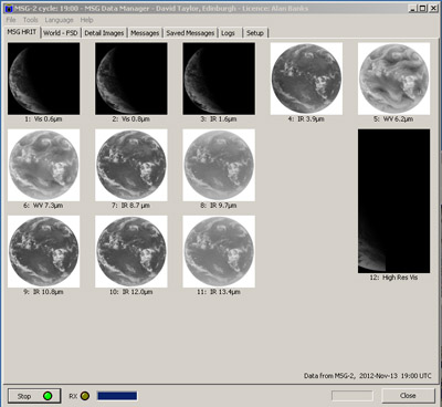
The MSG
Animator
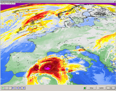
- Up to 30 simultaneous, independent animations, updated in
real time
- Supports Met-7 IDOC, Met-8..10, GOES-E & GOESW,
MTSAT-1R, &
Rapid Scanning Service
- Selection of channel and region subset, with country
boundary overlay
- Looping and smoothing of animations, with optional
image-processing functions and colour lookup tables
- Kiosk and auto-switch modes for public and demonstration
areas
|
|
GeoSatSignal
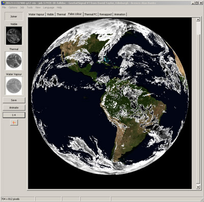
- Combine multiple channels for false-colour images
- Accepts MSG, GOES, MTSAT EUMETCast & Internet data
- Join adjacent satellites to make a world-view
- Wide choice of colour models including fire hot spots,
RGB,
channel differences, user LUTs etc.
- Remap image to standard map projections
- Overlay image on weather chart
- Animate the result
- Complete hands-off, command-line automation
|